Many contractors in Bunbury assume that any clean sand can be tipped and compacted to form a stable embankment. That assumption can lead to differential settlement or even slope failure within the first wet season. The local geology around the Leschenault Estuary includes loose silty sands interbedded with soft estuarine clays. Without proper characterisation of those materials, a fill platform built for a road approach can settle unevenly. Before placing any fill, we run a targeted investigation including soil classification and compaction testing. For projects where long-term creep is a concern, we also recommend a consolidation test to predict how the foundation will behave under sustained load.
A difference of more than 3 % from optimum moisture can reduce achievable dry density by over 10 % in Bunbury's coastal sands.
Approach and scope
Site-specific factors
In Bunbury, we often see embankments built directly over topsoil or soft clay without stripping the organic layer. Within two years the fill settles, cracks appear along the shoulder, and the road surface becomes uneven. The risk is worse when the embankment crosses a drainage line or natural swale. Water trapped beneath the fill softens the foundation and can trigger a rotational slide. A proper foundation preparation plan that includes stripping, benching on slopes steeper than 10 %, and controlled fill lifts of 250 mm maximum avoids most of these failures. We also check for shallow peat pockets using hand augers before the main earthworks begin.
Service video
Regulatory framework
AS 1726:2017 – Geotechnical site investigations, AS 4678:2002 – Earth-retaining structures, Austroads Guide to Pavement Technology – Part 2 (fill and compaction), AS 1289.5.1.1 – Soil compaction and density tests
Related technical services
Embankment Foundation Assessment
Boreholes and test pits to log soil layers down to at least 3 m below the base of the fill. We run classification, shear strength and consolidation tests on undisturbed samples. The output includes allowable bearing pressure, expected total settlement and a recommended stripping depth.
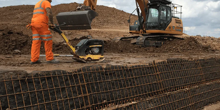
Compaction Control and Fill Specification
Field density tests using the sand-cone method (AS 1289.5.3.1) and nuclear gauge wherever access allows. We verify that each lift reaches 95 % of maximum dry density and stays within 2 % of optimum moisture. The final report includes a compaction certificate for the client and the local council.
Typical parameters
Top questions
What is the typical cost range for a road embankment design study in Bunbury?
For a standard embankment up to 6 m high with four boreholes and full laboratory testing, the cost ranges between AU$1,760 and AU$6,860. The final price depends on the number of investigation points, depth of boreholes and the complexity of the soil profile.
How deep should the foundation investigation go for a 4 m high embankment?
We recommend drilling at least 1.5 times the embankment height below the base of the fill, so about 6 m for a 4 m high structure. This depth captures any soft clay layers that could cause long-term consolidation settlement under the added load.
Can I use on-site sand from Bunbury's coastal dunes as fill material?
Yes, but only after testing. Dune sand is often uniform and lacks fines, which makes it prone to erosion and difficult to compact to high densities. We run a particle size distribution and modified Proctor test to see if blending with a clayey binder improves the compaction curve.
What happens if the water table is found at 1.5 m during the investigation?
Shallow groundwater requires a drainage layer or wick drains before fill placement. We design a gravel blanket at the base connected to a lateral outlet. Without drainage, pore pressure builds up and the embankment becomes unstable, especially during heavy winter rain in Bunbury.