The coastal sands of Bunbury's CBD behave nothing like the clayey gravels found in the Glen Iris industrial estates. That contrast drives every geotechnical decision we make. In Bunbury, a project on Symmons Street can hit loose fine sands at 2 m depth, while the same borehole line in Withers intersects stiff silty clays. Classifying these materials correctly under USCS and AASHTO is not academic — it determines bearing capacity, compaction targets, and drainage design. Our laboratory applies AS 1726:2017 to assign group symbols and classify soils for every foundation type. Before we classify, we often run a placa de carga to calibrate modulus values against the visual-manual description. That combined approach gives Bunbury engineers numbers they can trust for design.
A single misclassified soil in Bunbury's coastal zone can shift bearing capacity estimates by 150 kPa, altering foundation design entirely.
Approach and scope
Site-specific factors
We bring a hand auger and a dynamic cone penetrometer to every Bunbury site. The auger recovers disturbed samples for field classification; the DCP logs penetration resistance every 10 cm. In the sandy sections near Koombana Bay, the auger can reach 5 m without casing. But in the clay zones of Bunbury's eastern suburbs, we switch to a hollow-stem auger to prevent collapse. The risk of misclassification rises when operators rely solely on visual estimation without laboratory validation. We have seen projects where SP material was called SM on site, leading to underestimation of liquefaction potential. Our protocol mandates that field descriptions are checked against lab data within 48 hours. That discipline catches errors before they reach the design office.
Regulatory framework
AS 1726:2017 Geotechnical site investigations, AS 1289.3.6.1 Sieve analysis of soils, AS 1289.3.2.1 Atterberg limits, AASHTO M 145 Classification of soils for highway purposes
Related technical services
Visual-Manual Classification (Field)
On-site identification of soil type, color, odor, and consistency per AS 1726. Includes hand-texturing for sand/silt/clay ratios and field moisture estimation. Results are preliminary but essential for selecting laboratory test methods.
Sieve Analysis (Wet & Dry)
Gradation curves per AS 1289.3.6.1. Wet sieving is standard for Bunbury's clay-bearing soils to break down agglomerations. Dry sieving is used for clean sands. Both methods feed directly into USCS coarse fraction classification.
Atterberg Limits & Plasticity
Liquid limit (Casagrande cup), plastic limit, and plasticity index per AS 1289.3.2.1 and AS 1289.3.3.1. Essential for classifying fine-grained soils (CL, CH, ML, MH) and for AASHTO group index calculation.
Organic Content & Sulfate Testing
Walkley-Black method for organic carbon and gravimetric sulfate analysis. Critical for Bunbury sites near wetlands or the Leschenault Estuary, where organic soils can cause long-term settlement and sulfate attack on concrete.
Typical parameters
Top questions
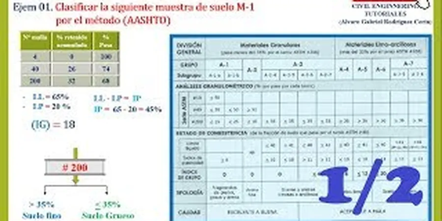
What is the difference between USCS and AASHTO soil classification?
USCS classifies soils based on grain size distribution and plasticity, using group symbols like SP, CL, or CH. AASHTO classifies soils primarily for pavement subgrade evaluation, assigning a group index (GI) from A-1 to A-7. In Bunbury, we typically provide both systems because engineers need USCS for foundation design and AASHTO for road pavement design.
How long does soil classification take in Bunbury?
Field classification is done on the day of sampling. Laboratory test results for sieve analysis and Atterberg limits take 3 to 5 business days. If organic content or sulfate testing is required, add another 3 days. Rush services are available for critical path projects.
What soil types are most common in the Bunbury area?
Bunbury's geological profile includes Quaternary coastal sands (SP, SP-SM) in the northern and western suburbs, alluvial silts and clays (ML, CL) along the Preston River corridor, and lateritic gravelly sands (GW-GM, SW-SM) on the elevated areas near Mount Lawley. Each type requires different classification attention because properties vary within short distances.
Do you provide classification reports for subdivision approvals?
Yes. Our reports meet the requirements of the Western Australian Planning Commission and local council guidelines. They include USCS group symbols, AASHTO classifications, and a description of soil variability across the site. The report also references AS 1726 and lists the laboratory methods used.
What is the typical cost range for soil classification testing in Bunbury?
For a standard classification package including sieve analysis, Atterberg limits, and USCS/AASHTO assignment, the cost ranges from AU$100 to AU$170 per sample. Bulk discounts apply when testing 10 or more samples from the same site. Additional tests like organic content or sulfate analysis are charged separately.